The Wild Atlantic Way is a driving route that, in the north of Ireland, begins in the Inishowen Peninsula in County Donegal. It was here, after returning from our quick jaunt into Northern Ireland, that we began our journey along the coast.
The Wild Atlantic Way is about 1,550 miles (2,500 kms) which is quite the distance for a relatively small island. There is a lot of zig zaggy coastline, and that's what the WAW is all about. The wild coastlines, the cliffs, the small communities and their way of life. Mostly, though, it's the fantastic scenery that is the star of the show.
As a tourist route, the WAW was introduced by the Office of Tourism in 2014. While it has done a good job of bringing tourism to the coastal communities, the one thing lacking is good road infrastructure. Then again, you could say that about the entire country. So I will. With the exception of the 'M’ roads, which would be like our Interstate highways in the U.S., the roads in Ireland suck. We have been rattled to our very cores and poor Bijou has lurched and bounced over countless rough and pitchy lanes and probably has more screws loose than we can count. Having said all that, it was a fantastic journey that we would do again in a heartbeat and would highly recommend to others!
Planning a trip on the WAW is a daunting task. There are 157 Discovery Points, nearly 1,000 attractions and twice that many activities. Even though we had a few weeks to make our trip, we still had to focus on the places and attractions that interested us the most. There is a great website (https://www.wildatlanticway.com ) which was perfect for discovering places, but it was a little clunky for actually routing our trip. Also, connectivity was even more of an issue, as we typically planned our activities and our route only a day or two in advance, and we weren't always able to connect when we needed to. We needed something old school. Fortunately, Steven had purchased a little "Wild Atlantic Way Pocket Map" and it became our most valuable planning tool.
You can see how many places we circled and wanted to visit.
What was great about the map is that it had tons of information about numerous stops along the way. We read through all the information, circling those stops that appealed to us. We also joined a wonderful Facebook group called Total Motorhome Ireland, whose members were quick to respond to our questions with detailed information.
What was great about the map is that it had tons of information about numerous stops along the way. We read through all the information, circling those stops that appealed to us. We also joined a wonderful Facebook group called Total Motorhome Ireland, whose members were quick to respond to our questions with detailed information.
Our goal was to visit at least three places on our way to our next overnight stop. It didn't always happen because sometimes we needed to slow down, but for the most part, we managed it. There were days that the distance between stops was just a few kilometers, so often we didn't travel far. We really enjoyed traveling this way.
This is our route for this leg of our WAW adventure.
We chose our first stop, Malin Head, on the Inishowen Peninsula because it is the most northerly point in Ireland. There is not really much to see at Malin Head, but there was a beautiful cliff trail we were able to walk as the sun finally peaked out from behind the clouds. There is an area called Devil's Bridge and Hell Hole, which on a stormy day acts a bit like Thunder Hole in Acadia, spewing thunderous sprays of the Atlantic high in the sky. But, as these things can go, it was a fairly calm day when we were visiting.
We chose our first stop, Malin Head, on the Inishowen Peninsula because it is the most northerly point in Ireland. There is not really much to see at Malin Head, but there was a beautiful cliff trail we were able to walk as the sun finally peaked out from behind the clouds. There is an area called Devil's Bridge and Hell Hole, which on a stormy day acts a bit like Thunder Hole in Acadia, spewing thunderous sprays of the Atlantic high in the sky. But, as these things can go, it was a fairly calm day when we were visiting.
The letters behind Steven were to aid pilots with navigation.

Cliff walker.

Malin Head was wild, rugged and remote. A welcome alternative to the usual packed tourist venues.
Up next, we made our way to the Doagh Famine Village in Ballyliffin, Co Donegal. I am of two minds about this place, because it was presented in two completely different formats. The first part was fabulous. We were taken through thatched roof cottages by a tour guide who actually lived in them as a boy. He spoke of their way of life and how quickly it all changed, in the 1980s! The two things that facilitated change were television and technology. With the former came glimpses of life outside the village and with the latter came jobs that caused the younger generation to move away.
Up next, we made our way to the Doagh Famine Village in Ballyliffin, Co Donegal. I am of two minds about this place, because it was presented in two completely different formats. The first part was fabulous. We were taken through thatched roof cottages by a tour guide who actually lived in them as a boy. He spoke of their way of life and how quickly it all changed, in the 1980s! The two things that facilitated change were television and technology. With the former came glimpses of life outside the village and with the latter came jobs that caused the younger generation to move away.
Our tour guide actually grew up here and lived in one of these cottages.
The first half of our tour was full of promise with rich stories from times past.
The second part of the village was, comparatively, hokey. And we got a new tour guide that simply spewed memorized information and was not nearly as interesting as our first guide. That doesn't mean we didn't learn anything about the famine, we did, but the presentation was just terrible. Thank goodness for the first part of the tour was so excellent.
The second part of the village was, comparatively, hokey. And we got a new tour guide that simply spewed memorized information and was not nearly as interesting as our first guide. That doesn't mean we didn't learn anything about the famine, we did, but the presentation was just terrible. Thank goodness for the first part of the tour was so excellent.
There is nothing funny about the famine, but these displays were hilarious.
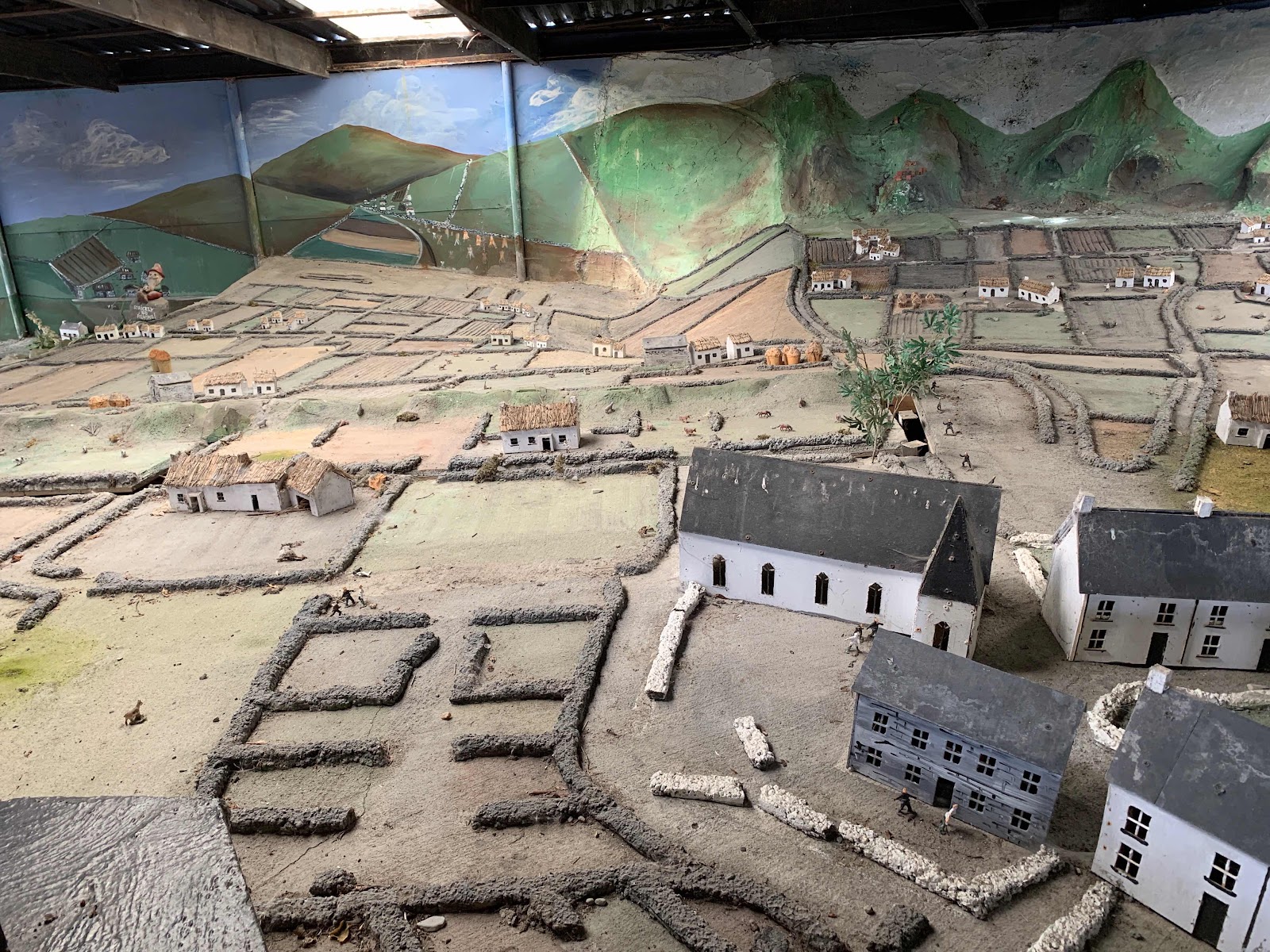
Grim reminders of life during the Irish famine.
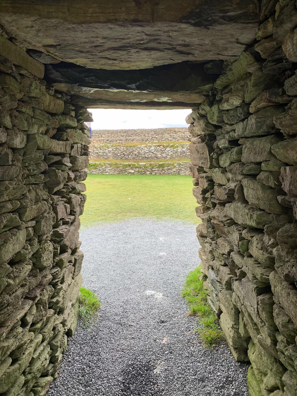
Our third and final stop for the day was Grianan of Aileach, a circular stone hill fort in Burt, Co. Donegal. Our GPS had difficulty finding it, but when we finally did get headed in the right direction, it was down a one-lane track, then up, up, up to the top of the hill. While there is evidence the fort was used as early as 1700 BC (!!) during our visit it was being used by a wedding party for photographs. I have to say it was a pretty spectacular place for that, but not wanting to get in their way, I steered clear of climbing to the top. Plus, we don't have chocks for Bijou and I had visions of her rolling off the hill, so I stayed fairly close to her while Steven got in some drone flying time with Buzzy Buzzandra. The views were astounding in all directions!
Our third and final stop for the day was Grianan of Aileach, a circular stone hill fort in Burt, Co. Donegal. Our GPS had difficulty finding it, but when we finally did get headed in the right direction, it was down a one-lane track, then up, up, up to the top of the hill. While there is evidence the fort was used as early as 1700 BC (!!) during our visit it was being used by a wedding party for photographs. I have to say it was a pretty spectacular place for that, but not wanting to get in their way, I steered clear of climbing to the top. Plus, we don't have chocks for Bijou and I had visions of her rolling off the hill, so I stayed fairly close to her while Steven got in some drone flying time with Buzzy Buzzandra. The views were astounding in all directions!
Another rural traffic jam!

No, that’s not Steven, although he did think about it!
The bride and groom.

Wedding photographs were well under way as we got ready to leave.
Beautiful views as we drove down from the fort.
We managed to get off the hill and find our way to the parking lot at Inch Island Waterfowl Reserve on Lough Swilly, which is where we parked up for the night. This was a fabulous place! There was an 8 km loop around the reserve, which we were planning to walk the following morning before taking off, but it was not meant to be. At some point in the evening, Steven realized he had left his camera at the Doagh Famine Village. He called and sure enough, they had found it and assured him it was in a safe place. Whew! We got up early and retraced our steps to retrieve the camera. Two hours later, we were back in our spot at the reserve cooking breakfast!
We managed to get off the hill and find our way to the parking lot at Inch Island Waterfowl Reserve on Lough Swilly, which is where we parked up for the night. This was a fabulous place! There was an 8 km loop around the reserve, which we were planning to walk the following morning before taking off, but it was not meant to be. At some point in the evening, Steven realized he had left his camera at the Doagh Famine Village. He called and sure enough, they had found it and assured him it was in a safe place. Whew! We got up early and retraced our steps to retrieve the camera. Two hours later, we were back in our spot at the reserve cooking breakfast!
Safe and sound at the waterfowl reserve.
From Inishowen Peninsula the next logical place to go is to Fanad Head Lighthouse and the gorgeous Ballymastocker Bay, but we had already visited those places the week before when we were with family in Portsalon. Instead of retracing our steps, we made our way southwest to Donegal Town. It was here I think I reached a turning point in my driving skills. The town was heaving with traffic and people for the annual food festival and something just clicked. I stopped being freaked out by it all. We inched our way to the docks where we had planned to overnight, only to find it filled with food trucks. We had no Plan B, so we carried on, got turned around and inched our way back through the crowds to luckily find another spot for overnight camping, designated by the town for the festival. How nice! We got parked up and walked right back into town to join the fun!
The food festival was worth the trip plus Linda got the Irish stew she had been craving.
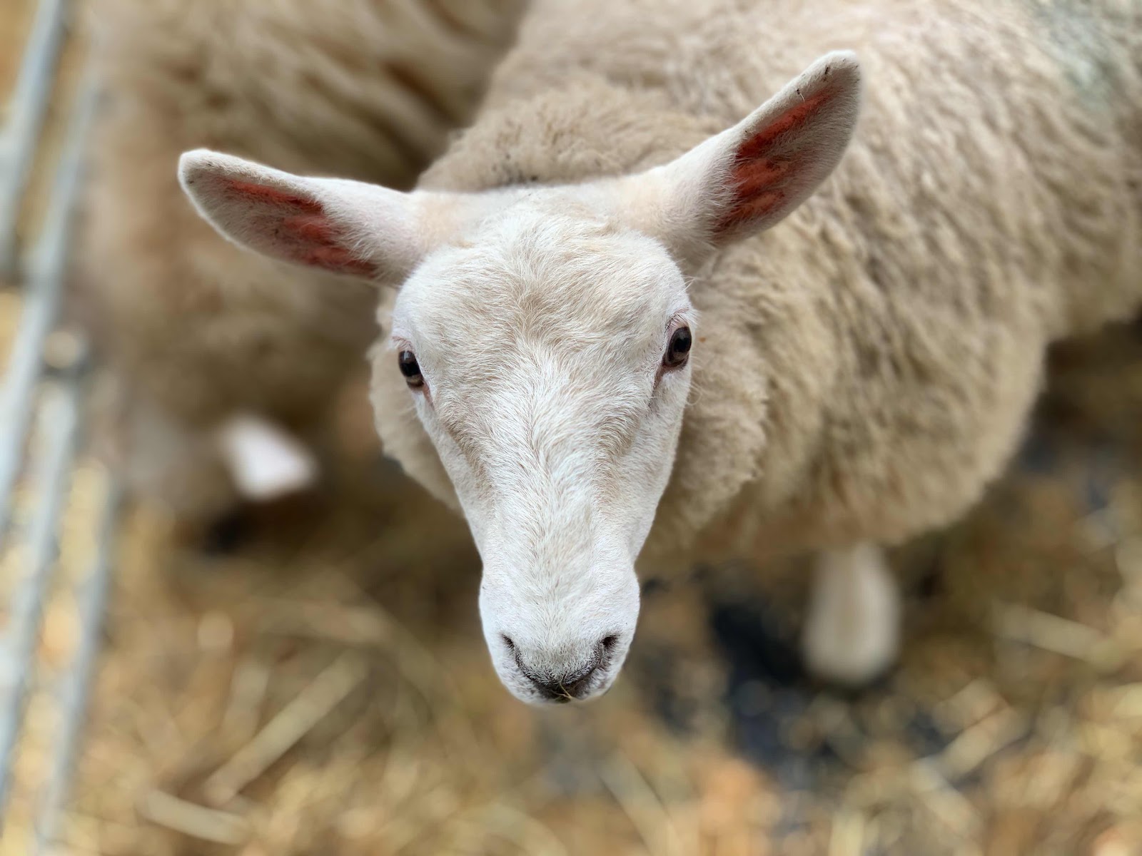
Never a day went by without a sheep, even at the food festival.
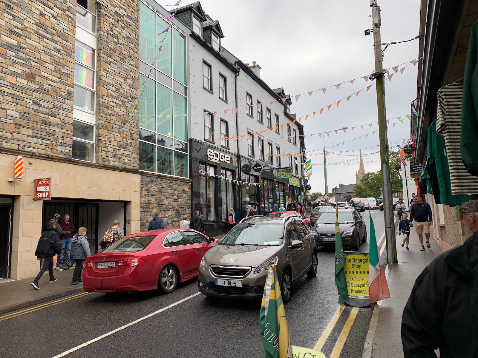
Lots of traffic and people in Donegal Town.
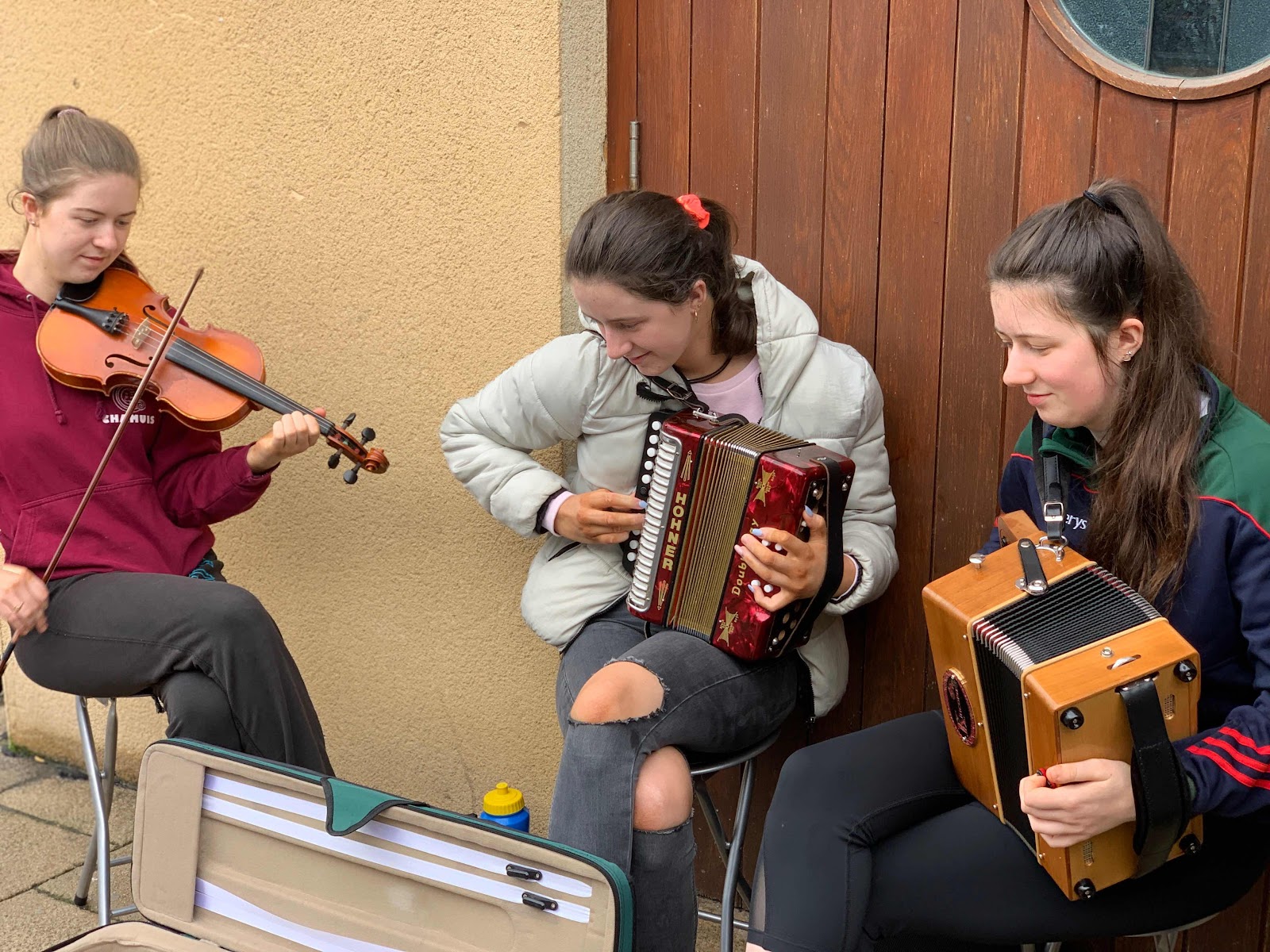
These ladies played for hours. Even after we had spent hours walking, drinking and eating, they were still going at it!!

I got captured by the honey bees.
We awoke the next morning and while trying to prepare our breakfast, we realized we had run out of propane. Such a rookie move, right? While propane is available in Ireland, it isn't on every street corner. But as luck would have it, the only place around us for 100 kilometers was right on our way to our next stop, Glencolumcille Folk Village. That's a mouthful, isn't it? This was Steven's pick, he really wanted to visit this place, but all I could think was "Great, another hokey village", but it wasn't at all.
We stopped for propane on the way and arrived at the folk village fairly early in the day. We planned to stay there all day and overnight, as motorhome parking is allowed, so this would be our only stop of the day. It was a fabulous place, because just out our front window was the most gorgeous view of the Glencolumcille Beach.
Glencolumcille village has cottages with displays spanning three centuries.
This lady was a little startled when we walked in.

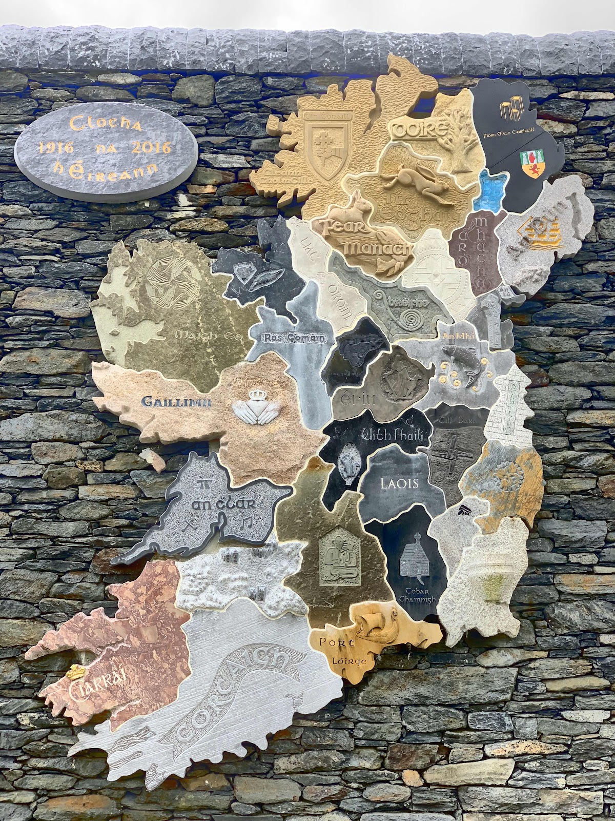
Back at the village we took the tour which we enjoyed and after, we were allowed to look around on our own as long as we wanted. For the most part, we had the village to ourselves. I made my way to the café and ordered some soup and brown bread (such delicious and simple food!) while Steven took photos. He joined me before long and we made our way across the street back to Bijou. By the afternoon the place was jam-packed with tourists. Bus after bus showed up and the people just kept coming. I guess it's a blessing and a curse, as these tours help keep places like folk villages in business. But wow, it's unpleasant to be in such crowds!
Soup and brown bread. Food for the soul.
Kevin, our new traveling buddy, spots a few friends from the Glencolumcille parking lot.

The tide is out at Glencolumcille beach.
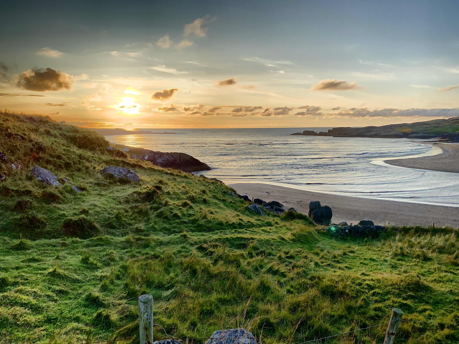
We were parked right beside the picturesque Glencolumcille beach. The gorgeous sunset was a perfect ending to the day.
And that's it for our first three days on the WAW! I might have to speed up a bit, otherwise it'll be like blogging in real-time, which I should have done, but didn't. Oh well.
And that's it for our first three days on the WAW! I might have to speed up a bit, otherwise it'll be like blogging in real-time, which I should have done, but didn't. Oh well.
NEXT UP: More WAW!
Very cool!!! Shame about all the tour buses, but the landscape is gorgeous. Looking forward to your next installment.
ReplyDeleteNina
Fortunately we had already finished with our tour by the time the buses showed up. We just hunkered down and watched in awe. :) It's a worthwhile stop.
DeleteWow! That is one beautiful country.
ReplyDeleteIt is amazing. Steven got some awesome photos, as you can imagine.
DeleteThat is the truth about the driving, Linda....it just clicks and you just deal with the situation. I even started (and I repeat STARTED) to get used to semi trucks and buses coming at me on narrow UK and Irish two lanes. Got out with our mirrors intact!
ReplyDeleteLove that wild Atlantic coast in Ireland and also the rolling pastoral scenes inland. We certainly fell in love with Steven’s homeland!
I'm still not used to the push and pull of the semis as we pass them, or they pass us! I have to hang on and try not to over compensate!
DeleteAww...you have a new trip mascot! So cute. I like your 'old school' map. As much as I rely on the internet for researching our travels, I still love having a map and brochures so that I can circle things that we're interested in doing.
ReplyDeleteThe countryside is so beautiful, and your photos are gorgeous. Good thing you didn't get too far away before you realized your camera was MIA. 😳
We have a good map for France, too, but it's in French. What's up with that? How did you do in the Maritimes with your French-speaking?
DeleteHahahaha!!! Well, I thought I was doing well, but every time I greeted someone with, "Bonjour, bonjour! Comment ca va?" half the time the answer would be, "Ah, do you prefer English?" 😼
DeleteI love those little villages and their quaint cottages. Too bad they're dependent on the big tour buses, but at least they survive. Nice you were able to avoid much of the crowds. I think I was driving between La Push and Sequim when the "click" happened for me that first year! Kevin :-))))
ReplyDeleteLa Push and Sequim - now you're just making me homesick. :)
ReplyDelete